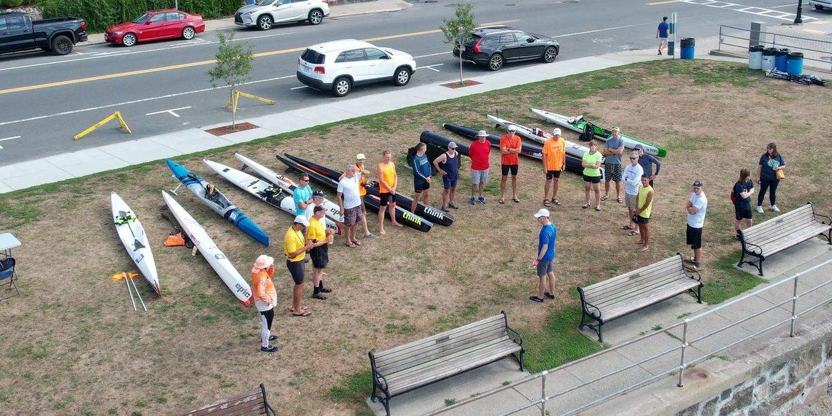
After a two-year hiatus, Mike McDonough revived his popular Nahant Bay Race for 2022. With a 7-10 mph north wind forecast to swing to the northeast during the race, Mike decided to reuse a course he plotted for the 2014 race. From Fisherman’s Beach in Swampscott, MA, paddlers would exit Nahant Bay via the aptly named Dread Ledge, head northeast to round rocky Ram Island, cut eastward to the Roaring Bull day marker, then return southwest back to Nahant Bay with wind, waves, and tide pushing them home. Temperatures were in the low 70s with partly cloudy skies, making for a beautiful day on the water.
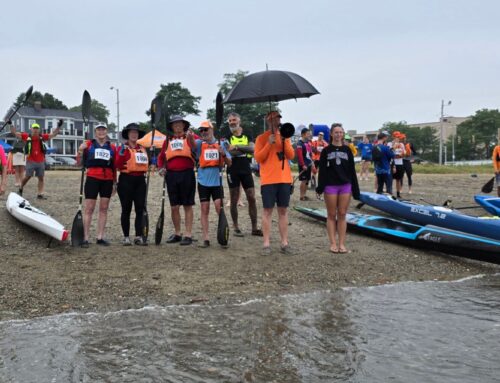
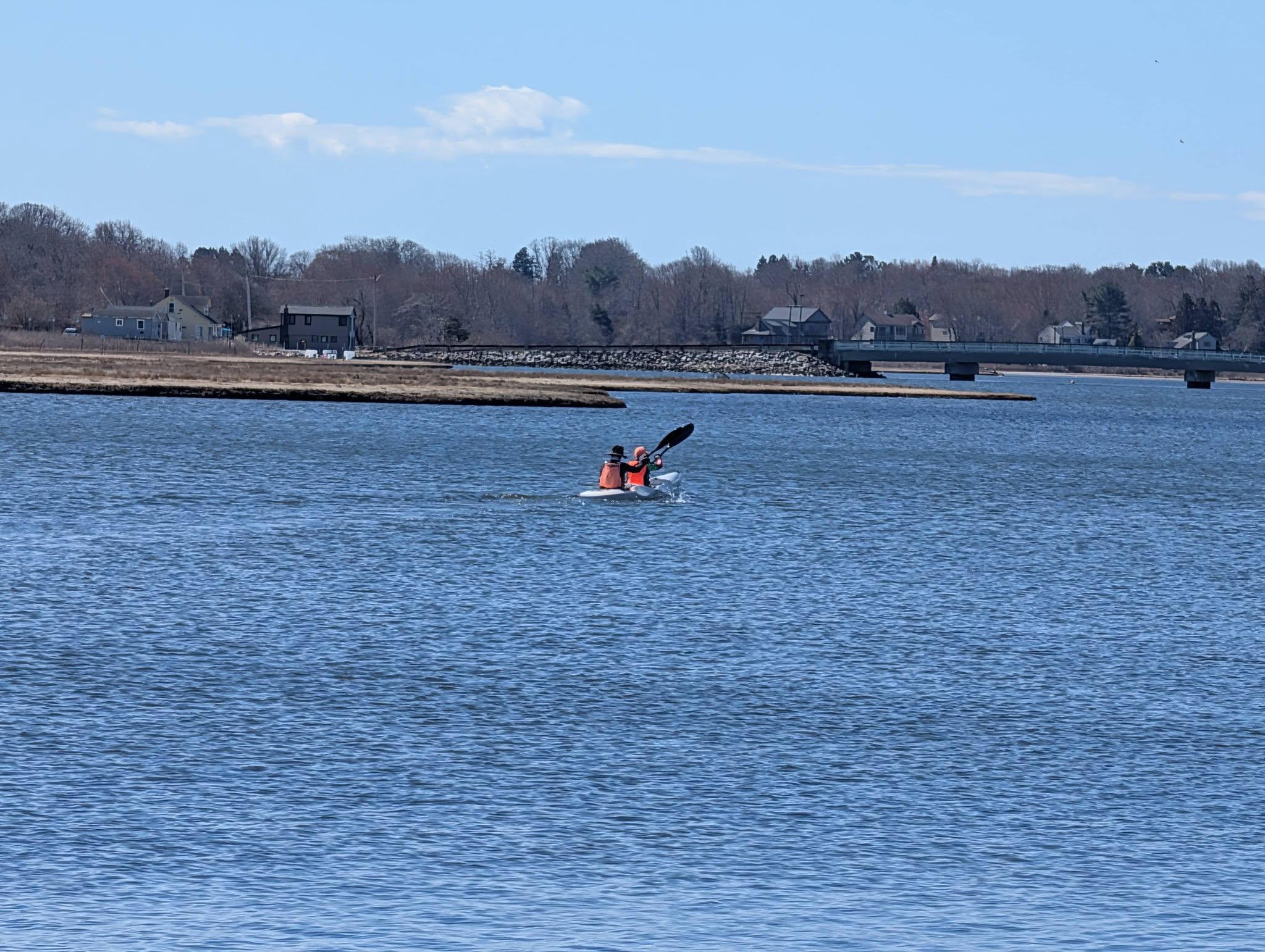
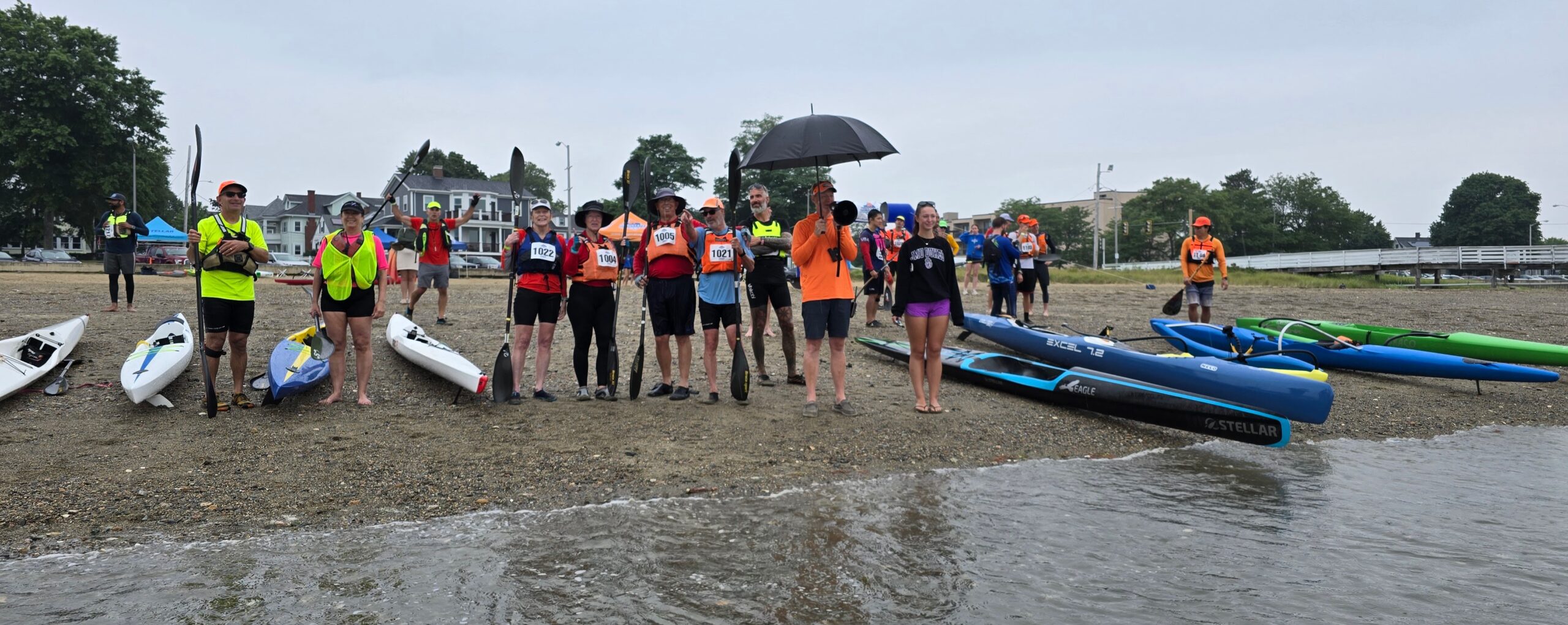
Eleven single skis would be vying for the title. Unusually for the Nahant race, they’d be joined by three tandem surfski teams – Kirk Olsen & Bill Kuklinski, Bruce Deltorchio & Ed Duggan, and Francisco Urena & Timmy Shields – and the outrigger double of Marc Lessard & Paul Dyka. On the women’s side, Mary Beth Gangloff would be the sole competitor. Four paddlers from the top seven single HPKs at the recent Blackburn Challenge were competing – North Shore locals Greg Lesher (BBC #3), Matt Drayer (BBC #4), and Janda Ricci-Munn (BBC #7) would face off again against New Jersey’s Rob Jehn (BBC #2). With Matt having beaten Greg several consecutive weeks in their weekly league and some jaw-dropping workouts appearing in Janda’s Strava feed, nobody would be surprised to see the Blackburn finish order scrambled in Nahant Bay.
Starting opposite the end of the beach’s long pier, Chris Chappell and Rob jumped out to an early lead, with Greg and Janda in immediate pursuit. Positioned further from the pier, Matt got tied up with some slower boats and was forced to chase from an outside line. A quarter mile into the race, Chris fell off the lead pace and was passed by Greg and Janda. While this pair drafted off of Rob’s stern for a moment, the latter soon dropped back a couple of lengths. Matt, recovering from his slow start, moved ahead of Janda.
Approaching Dread Ledge at the northern mouth of Nahant Bay, Rob took the safe route wide of the rocks while Greg abandoned the draft to take a more aggressive line. The move paid off as Greg moved briefly into the lead, but Rob quickly recovered his spot in the front, then dropped the challenger from his port draft to his stern. Matt and Janda, who had also swung wide, now chased from a half-dozen lengths back.
Greg stayed directly behind Rob roughly a third of the way to Ram Island but dropped back first one length, then another during the remainder of the crossing. Matt paced the pair from behind but took a line well to their right. Janda fell slightly back. The racers skimmed the north end of Ram Island and headed to the Roaring Bull marker. Rob extended his lead another couple of lengths, while Matt similarly closed on Greg. At the marker, Rob enjoyed a 6-length lead over Greg, who was in turn 3 lengths up on Matt. Janda made the turn some 45 seconds later.
Returning to Nahant Bay from Roaring Bull, the pace picked up considerably. While Rob maintained his lead, Matt and Greg sparred for second place, with their relative positions constantly changing as one or the other would catch a set of runners. A mile into the downwind, Matt overtook Greg for good, with Rob perhaps a dozen lengths ahead. Matt began to slowly chip away at Rob’s lead, but once they passed Dread Ledge to reach calmer waters of Nahant Bay, Rob was able to extend the gap again. The drama of the day wasn’t done, however, as Janda made an impressive surge in the final mile of the race to erase a 30+ second deficit to Greg and seize the third position.
The top four finishers were separated by less than 90 seconds. Rob took the title at 1:12:41, with Matt at 1:13:13, Janda at 1:13:52, and Greg at 1:14:02. Mary Beth claimed the women’s crown. The overall doubles title went to the OC-2 of Marc & Paul at 1:19:02, who trailed the winning tandem surf ski of Kirk & Bill for much of the race, but managed to overtake them in the final leg – ultimately finishing 20 seconds ahead. Bruce & Bill took second among surf skis, with Francisco & Timmy in third.